
With vibrant colors, a simplified interface and content for coastal and inland waters.
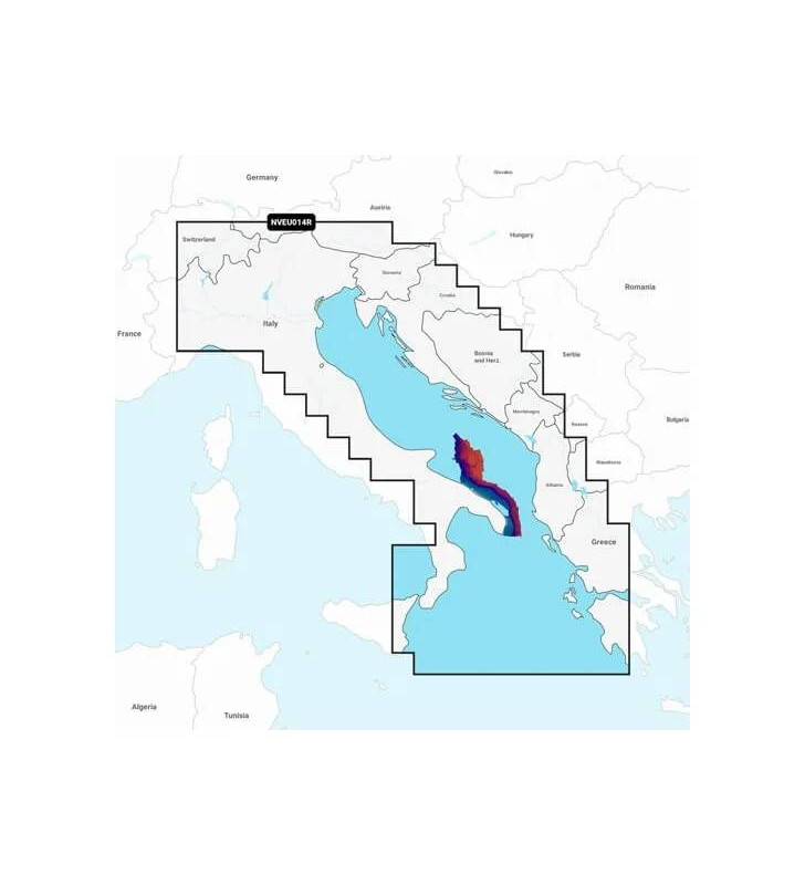
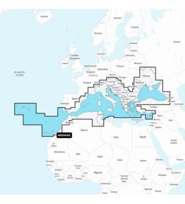
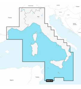
With vibrant colors, a simplified interface, and content for coastal and inland waters, in the Navionics® style color range, Garmin Navionics + cartography allows you to easily plot your course using the no. 1 in the world for nautical cartography1.
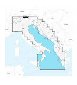
Navigate with our best inland and offshore coverage for the Garmin chartplotter.
Consult them at your convenience. Customize the display with various map layers and overlay combinations.
With the included one-year subscription, you can access daily updates via the ActiveCaptain® mobile app.
Auto Guidance + ™ 2 technology allows you to navigate with suggested routes from dock to dock.
Select up to 10batimetric with color shading to identify the areas with the most fish.
High resolution bathymetric shading allows you to select up to 10 color shading options and view designated target depths at a glance.
To improve fishing and navigation, isobaths down to 0.5m offer a clear representation of the bottom structure to improve fishing maps and do more detail of marshes, canals, marinas, marinas and much more.
The Fishing Map, extremely useful for anglers, provides high definition bathymetry that offers a much more accurate reconstruction of the seabed.
Community-created content offers useful points of interest such as marinas, anchorages, hazards, businesses, and more. Receive advice from navigators with direct experience of the local environment.
This detailed shading feature3 combines colors and shadows to provide a clearer and more intuitive view of the background structure than isolines alone.
High-resolution satellite images offer maximum knowledge of the surrounding environment.
Razor-sharp aerial and surface photos of commercial ports, marinas, bridges, piers, boat ramps, dams and landmarks provide a clearer idea of the surrounding environment above the waterline.
Fish Eye 3D, an innovative feature that allows you to view bottom compliance with a 3D perspective below the waterline.
This view provides a dynamic three-dimensional perspective view of land profiles and bottom compliance.

Specific References
No customer reviews for the moment.


Chartplotter with 10 "touchscreen and Full HD IPS (In-plane Switching) screen


The lightness, the very small diameter of the blank and an unimaginable reserve of power, an impressive reactivity, but many qualities we will let you discover them in fishing.

With bright colors, a simplified interface and content for coastal and inland waters.


Featuring vibrant colors, a simplified interface, and content for coastal and inland waters.


Featuring vibrant colors, a simplified interface, and content for coastal and inland waters.