- Out-of-Stock

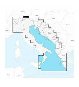
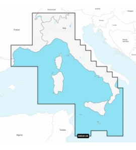
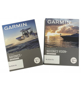
NAVIONICS PLUS SMALL AREA
CARTOGRAPHY NAVIONICS PLUS SMALL AREA
New Navionics Plus charts with Sonar Charts with bathymetry for fishing!
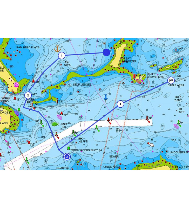
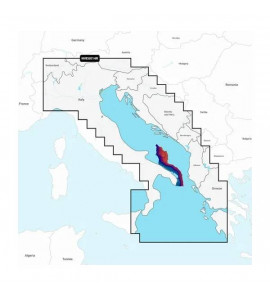
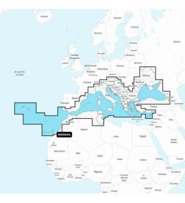
Nautical charts
A fundamental cartographic reference that includes data from private and public sources as well as proprietary surveys. The easy-to-use and interactive visualization allows you to consult port plans, select safety bathymetry, query ground services with telephone numbers and other useful details.
To buy: go to the drop-down menu and choose the card of your navigation area.
This cartography is sold on Micro-SD support with SD adapter included.

Specific References
No customer reviews for the moment.


13-POLE MICRO ADAPTER WITH 7-POLE 12V SOCKET


Self-priming bilge pump utility model 35L / min.


Featuring vibrant colors, a simplified interface, and content for coastal and inland waters.


Featuring vibrant colors, a simplified interface, and content for coastal and inland waters.
With vibrant colors, a simplified interface and content for coastal and inland waters.

With bright colors, a simplified interface and content for coastal and inland waters.
